Open Street Level Imagery
Project lead: Joost Schouppe
Why street level imagery matters and why it should be open
All around the world, people are making a digital twin of the world. They might want to know where the shops are, need data to train a driverless car algorithm, or want to know where the traffic signs are. This work is done by private companies, by government, and by volunteers in crowdsourcing projects. Sometimes, this can be done by using satellite imagery. Sometimes going outside is needed. But very often, street level imagery is what is needed most. This allows to detect a lot of interesting features and to collect huge amounts of data without always having to go out.
However, this street level imagery is often not openly available. Google Street View exists, but it is illegal to use it for your own projects. The Flemish government recognized this need and invested a serious budget in providing it to the government mapping sector. Unfortunately, the imagery was never opened up to the public, because it never was the property of the Flemish government itself. Privacy reasons were also mentioned as to why it couldn’t be opened. In 2019, the Flemish government has decided to discontinue this project.
Opening up
The commercial sector continues to offer street view solutions. However, in almost all cases, the government does not retain ownership of the imagery. Instead of paying for data collection, they pay for access to the data. This means the price is low for the individual governement organization, but federal, regional, provincial, intercommunal, or communal are all buying access individually. In the end, the total cost for the tax payer is higher, without there being any open products that can benefit the rest of society.
We believe payment for the data collection should happen only once, and ownership of the imagery should be transferred to the government. This would result in the lowest cost overal. By releasing the imagery as open data, its value for society is increased even more. Access to extra services can incentivise governements to pay up for the base data collection.
While WVI has contributed open 360° imagery for most of the industrial areas in West-Flanders, and three Flemish municipalities have shared 360° imagery taken by Vansteelandt, the vast majority of projects that we hear about do not result in open data.
This is why in 2022 we, OpenStreetMap Belgium, are launching the Open StreetLevel Imagery Project. We will scale up our efforts to crowdsource open street level imagery at a low cost. We will invest a very small budget which we expect to have a significant impact.
The OpenStreetMap Belgium role
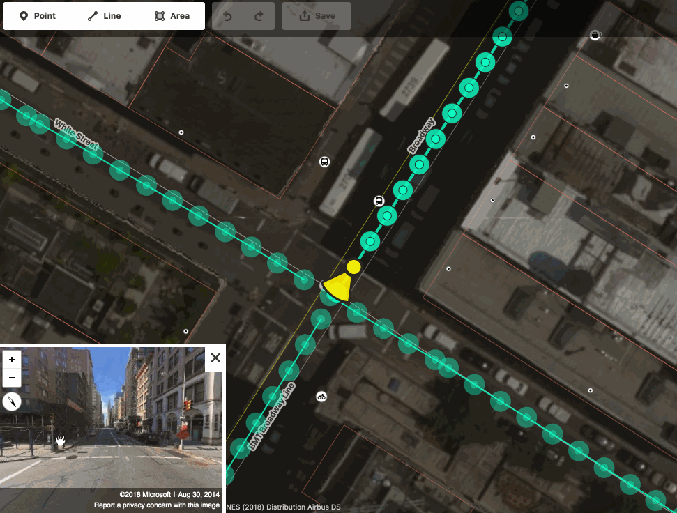
Our members have been contributing millions of openly licensed street level images in Belgium already. We do this because it helps us build the map. OpenStreetMap Belgium wants to support these contributors and increase the quality of their work. Most of the images are taken with smartphones or action cameras. But in order to convince more people that this kind of platform is the right place for them to contribute, we are investing in 360° cameras.
The images aren’t just useful to local mappers. As we publish them on the Mapillary platform, they can be used by anyone in the business of producing open data. More than that, the platform automatically generates derived data about traffic signs and infrastructure, which is in turn available as open data. As we retain full ownership of the images, we can also share them under other licenses and on other platforms.
 OSMbe members
 OSMbe official
Crowdsourcing for the win
At OpenStreetMap Belgium, we believe crowdsourcing is the way to go: define a common goal, make sure people have the means to work together, and watch your project grow. That doesn’t mean “volunteers only”. The crowd is more than just regular people. As the project grows, professionals start to use it, and start contributing. Open StreetLevel Imagery project contributors are also companies and governement organizations. The reasons are simple:
- It’s low cost. Since it takes no special skills to collect the imagery, you can work with volunteers or people who have to travel around anyway. Uploading is also quite easy
- It’s fast. Define a need today, grab your camera, and have the results available by the evening. Between large projects, ad-hoc work can fill the gap.
- It has unexpected benefits. You get derived data for free, can download the censored images for re-use, and your local OpenStreetMap data might get better faster.
While the low cost solution cannot offer the same benefits that advanced mobile mapping has, it can fill the gaps quite easily - possibly allowing you to leave more time between professional runs.
How you can contribute
Thanks for asking!
- We’re always looking for volunteers who want to use the cameras. You don’t need to be crazy ambitious, but of course the cameras will go to people who can do most work first.
- Do you think there’s potential in your organization? We can set up a demo together and lend you a camera and accessories for testing purposes
- Do you have a use case for derived data? We can help set you up with the data and the tools.
- Would you like to see your local area mapped first? We can help you reach out to your network to find volunteers, and support them to collect the data.
- Want to see the project grow? Give us an earmarked donation and we will invest it in the project.
- The OpenStreetMap community are dreaming of an open imagery repository where images can be dumped and service providers can use them to create value. We are looking for organisations that can help make this happen. Right now we are building a simple backup solution for the images we took ourselves.
A page with more technical details and practical info is available on our wiki.
Get in touch with any question or proposal.
If you live in Belgium, just send us a mail to request a camera.
Key events
- Early 2019. Work starts with a GoPro Hero 7 donated by Mapillary. Intensive use by contributor polyglot (many proposed cycle highways in Flanders get mapped) and Joost Schouppe
- Late 2019. As the Digitaal Vlaanderen “Mobile Mapping” project is stopped, we advocate for an open replacement.
- June 2020. The originally European open street level imagery company gets bought up by Facebook, as part of their OpenStreetMap centered maps strategy. Some context. This brings a lot of debate in the OSM community; temporary technical issues; and medium term stability.
- November 2020. OpenStreetCam becomes KartaView. Images from Mapillary can be automatically transfered to this similar platform, operated by Grab, a South-East Asian taxi company that contributes to and makes use of OpenStreetMap data.
- November 2021. The OSM Belgium membership decides to invest in 360 cameras.
- February 2022. After careful research, we decide to go for the GoPro Max: a userfriendly camera of about 500 euro. The first camera is bought and gets heavy use in Lierde and Pepingen, by Dirk Dedoncker, a mobility consultant.
- March 2022. The camera goes to Saint-Georges-Sur-Meuse, where Pierre Serpe will use it for a project with the Gracq.
- March 2022. As the first camera is in heavy use, we receive an earmarked donation for a second camera. This camera goes to Westtoer, for experimental use in preparation of new cycle routes.
- April 2022. Because of continued succes and demand from volunteers, we buy a 3rd GoPro.
- September 2023. Stéphane de Greef finishes full coverage of the Brussels region and the Forest de Soignes. This does not pass unnoticed, with several press reports!
- October 2023. We buy a fourth GoPro Max
- October 2023. Together with Mapillary, we launch the European Camera Grant project.